SERVICES

GEOALGAR - Consultoria em Geotecnia, Hidrogeologia e Ambiente makes available to its clients, teams and equipment, which cover most aspects of geological, geotechnical and environmental studies, and is able to provide services in:

AMBIENTE

Environment


  • Environmental assessment
  • Environmental Impact Studies
  • Degraded Areas Recovery Plan
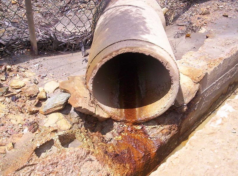
  • Evaluation of contaminant flows in soils and aquifers
  • Recovery of contaminated soils and aquifers
  • Environmental surveys
  • Environmental sampling
CAPTACOES DE AGUA

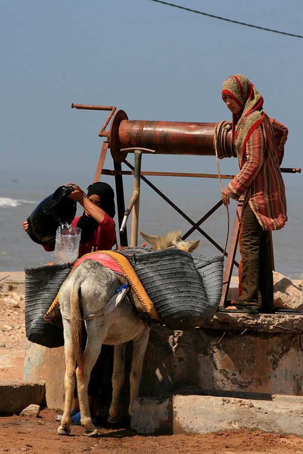
Water Extraction Wells


  • Groundwater extraction design and legalization
  • Delimitation of the Perimeters of Protection of Groundwater Wells
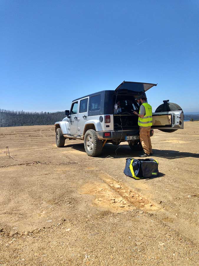
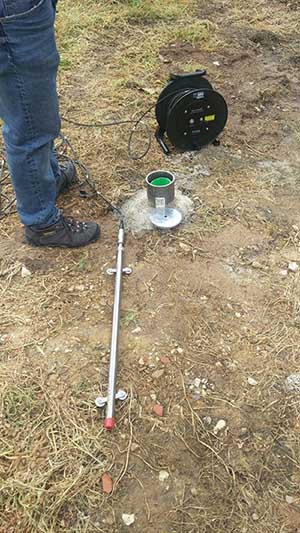
  • Electrical surveys to define the best water extraction well site
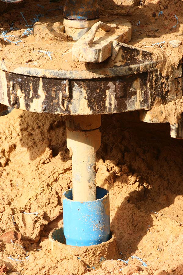
  • Oversight of water well drillings
  • Groundwater wells monitoring
ESTUDOS GEOLOGICOS

Geological and Geotechnical studies


  • Geological and geotechnical studies
  • Planning and execution of Geotechnical field investigations
  • Cartography and Geological and Geotechnical models development
  • Seismology and seismic risk studies
  • Interpret in situ geotechnical results
  • Natural, excavation and landfill Slopes Stability Analysis
  • Foundation Fields characterization
  • Excavate site conditions
  • Geological and geotechnical hazards analysis
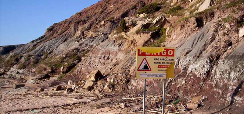
  • Erosion Assessment, prevention and mitigation
ESTUDOS EM CENTRAIS SOLARES E PARQUES EÓLICOS

Studies in Solar Power plants and Wind Farms - New


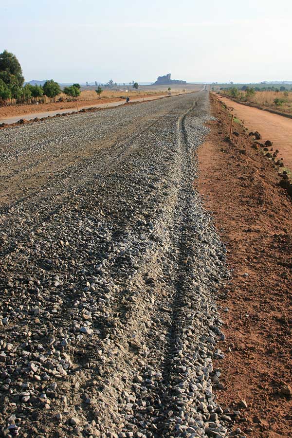
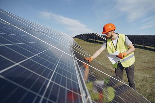
    Recognizing and investigating the conditions of a land for the implementation of a photovoltaic solar plant or a wind farm, is essential for the structures project and their foundations design, electrical substation, electrical network, road accesses, excavations and embankments to be carried out.

    In this context GEOALGAR has specialized teams and equipment that allow to carry out the following tests and studies;
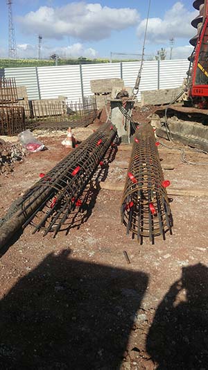

  • Geological and Geotechnical Surveys
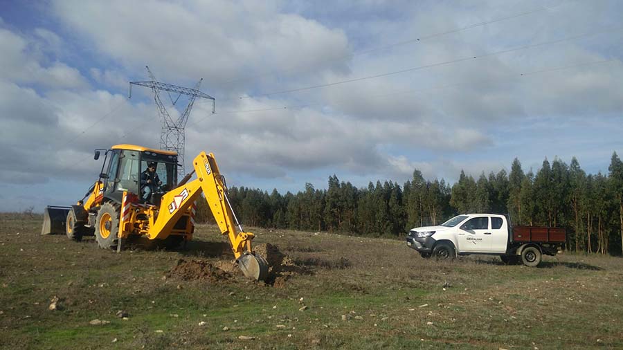
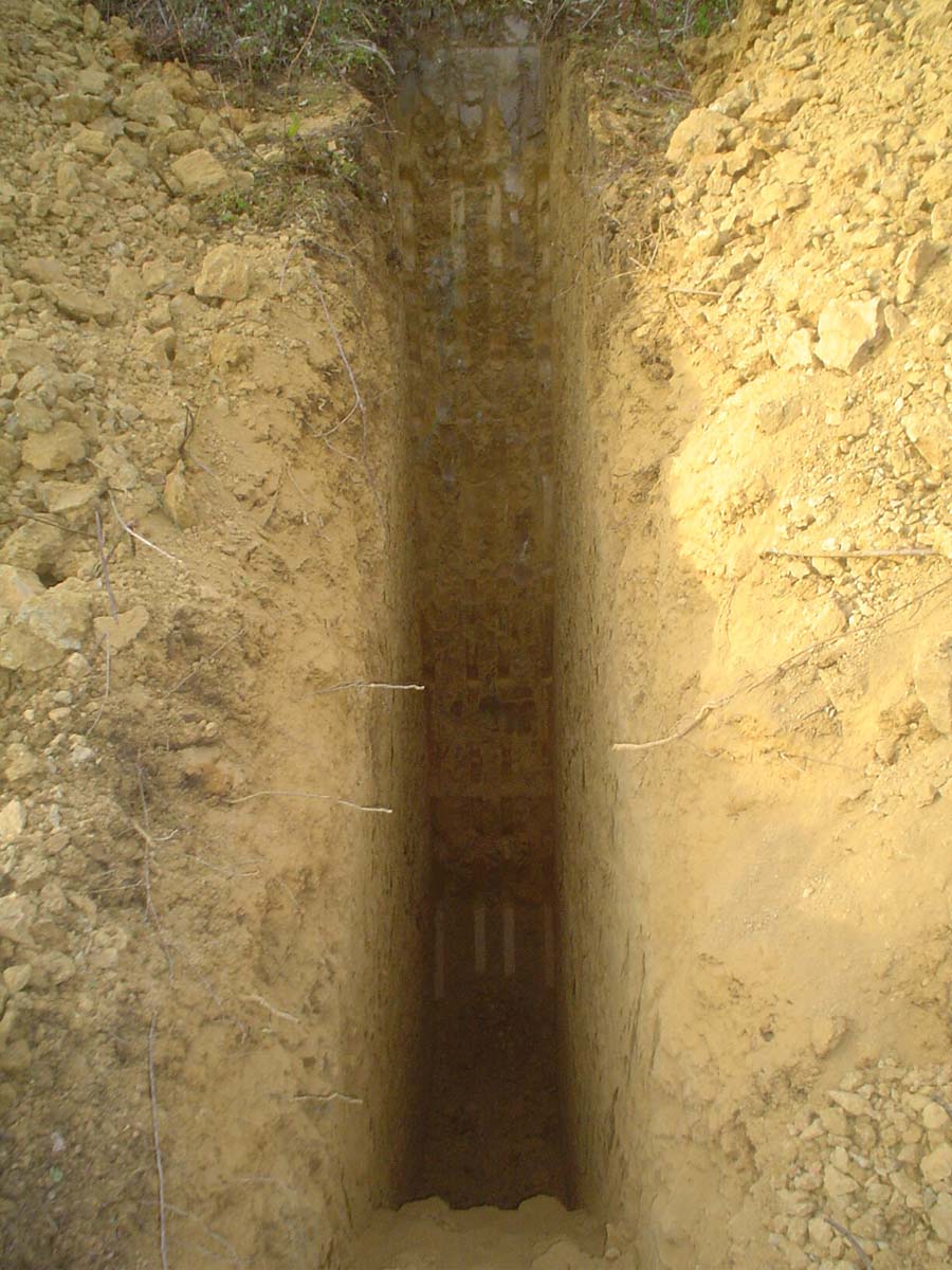
  • Trial Pits
  • SPT (Standard Penetration Test)
  • DPSH (Dynamic Probing Super Heavy) Tests
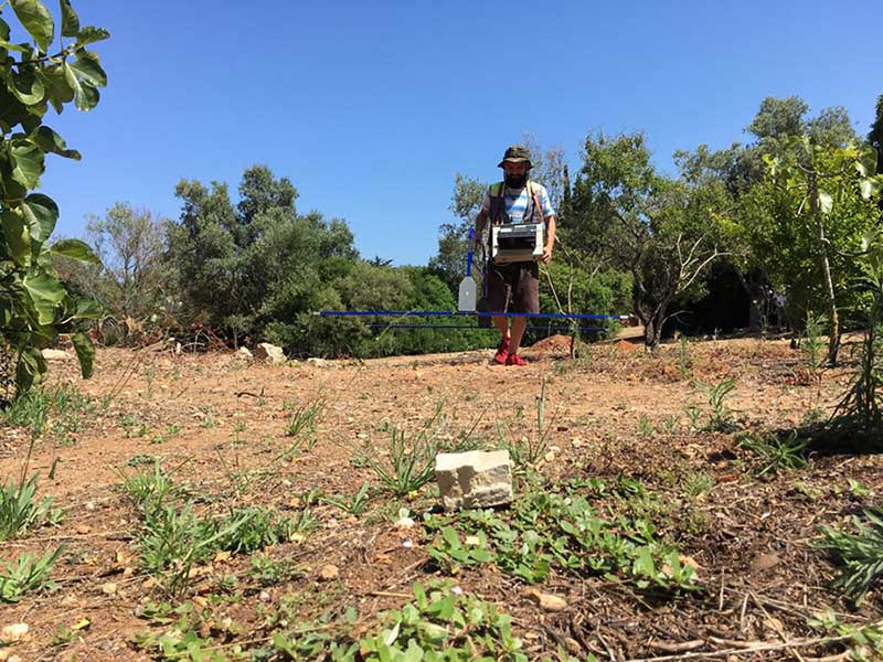
  • Electrical Resistivity Profiles with Wenner Device
  • Resistivity and Thermal Conductivity Tests
  • Soil corrosiveness analysis tests
  • Tests of aggressiveness to the concrete of soils and waters
  • "Pull Out" Tests
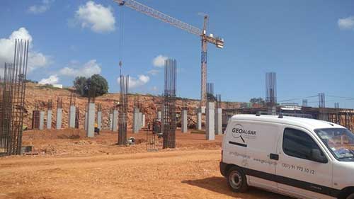
  • Supervision of the foundation surfaces of the structures, during construction phase
FISCALIZACÕES

Supervision and Monitoring of Geotechnical Construction Works


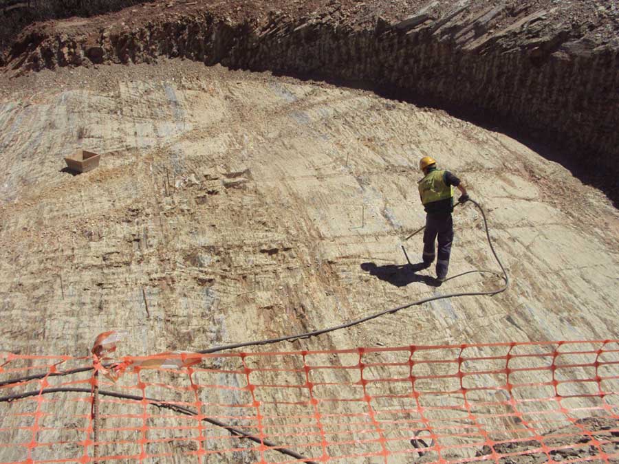
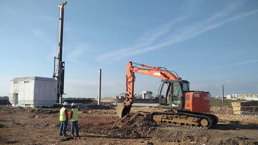
Geotechnical construction inspection and monitoring is of vital importance to the design team and the final Customer, in order to confirm that the construction complies with the applicable national and international construction specifications and codes.

GEOALGAR in construction supervision can help ensure that unforeseen conditions during the work are quickly discovered and corrected to avoid major problems.

GEOALGAR has specialized technicians, for the monitoring of geotechnical construction work.
HIDROGEOLOGIA

Hydrogeology


  • Hydrologic and Hydrogeologic Studies
  • Hydrogeological maps and models development
  • Aquifers design
  • Groundwater wells legislation and project
  • Monitoring and control of water availability
  • Aquifers Vulnerability analysis
INSTRUMENTAÇÃO

Geotechnical Instrumentation and Monitoring


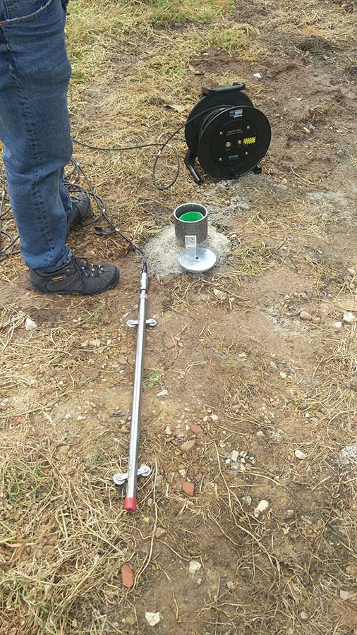
Geotechnical instrumentation and its monitoring play a decisive role in the execution of geotechnical works, as it acts decisively in reducing risks and assesses possible influences both in the work itself and in nearby structures.

The experience in this field of activity of the GEOALGAR team, allows us to develop and implement efficient instrumentation programs and a rigorous approach in reading and interpreting results. Geotechnical instrumentation involves the installation of inclinometers, piezometers, strain gauges, etc.

In order to verify the integrity and quality of the piles, we also performed sonic and cross-hole tests.
LABORATÓRIO DE GEOTECNIA

Geotechnical Laboratory


LABORATORY TESTS

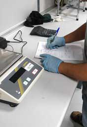
  • Moisture Content
  • Grain size analysis by sieve and sedimentation
  • Mineralogical analysis
  • Atterberg Limits
  • Sand Equivalent
  • Methylene Blue
  • Particle Density
  • Carbonates and sulfates Content
  • pH Value
  • Organic matter content
  • Direct Shear
  • California Bearing Ratio
  • Standard and modified Proctor Test
  • Slake Durability
  • Unconfined compression
  • Triaxial Compression (with Permeameter permeability determination)
  • Consolidation Tests
  • Water samples Collection and their analysis
  • Others

FIELD TESTS

  • Plate load Test
  • Light Weight Deflectometer (LWD) Test
  • Tests to control compaction in soil and rockfill embankments
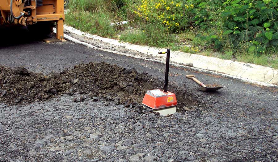
  • In situ relative compaction test with the nuclear gauge
  • Sand replacement density (SRD) tests
  • In situ determination of the water content using the SPEEDY device
  • Macro Barity tests
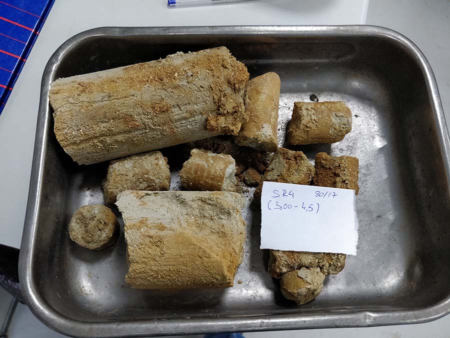
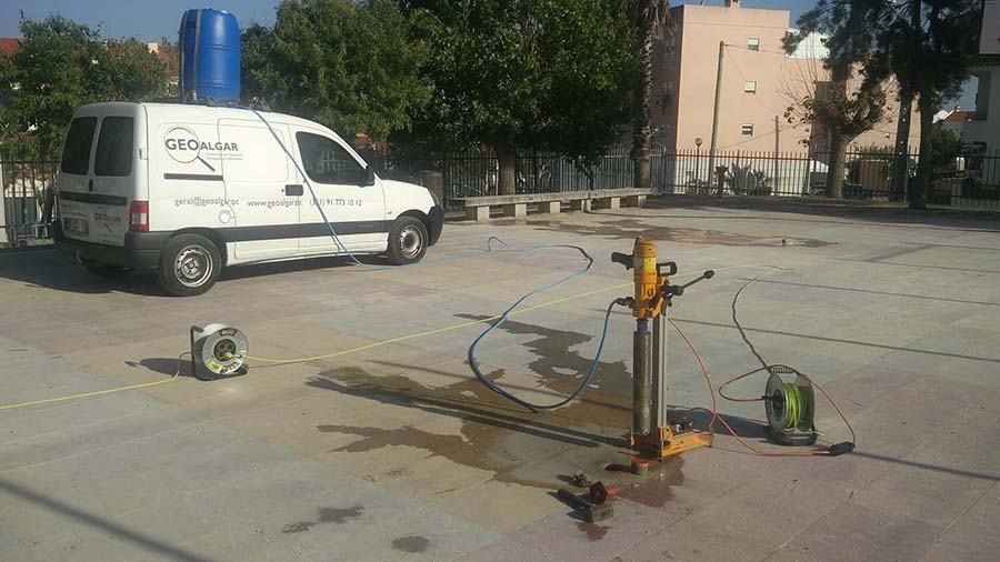
  • Execution of concrete cores to determine the compressive strength
PROJETO GEOTÉCNICO

Geotechnical Project


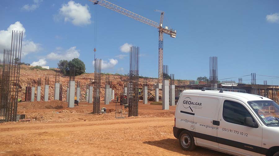
The knowledge and experience acquired over several years, in the areas of geotechnics, geology and hydrogeology, allows the technical team of GEOALGAR, together with the different specialties, to develop studies and projects for the construction of dams, tunnels, bridges, viaducts, buildings, highways and railways.
PROSPEÇÃO GEOFÍSICA

Geophysical Investigation


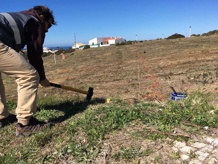
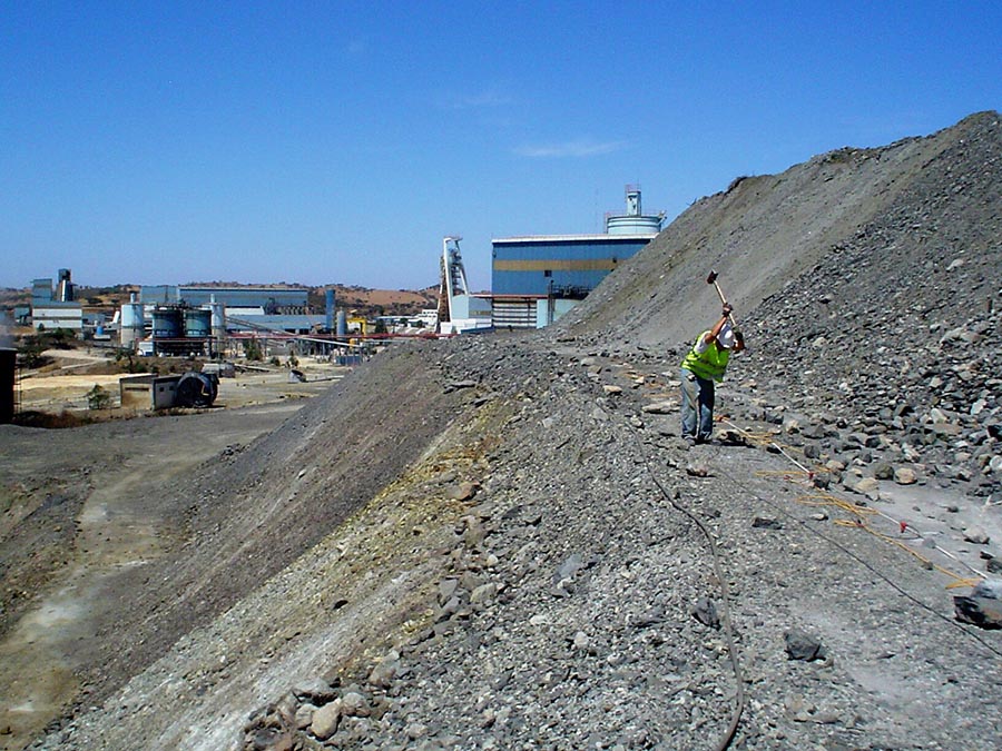
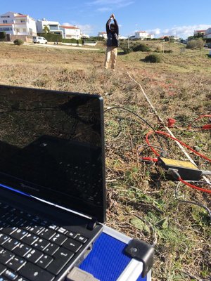
  • Seismic Refraction Profiles
  • MASW Profiles
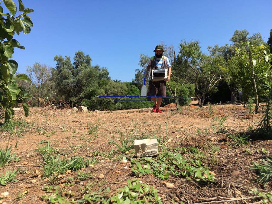
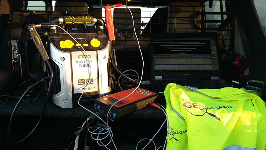
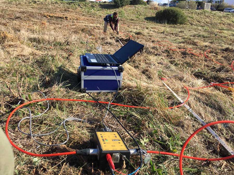
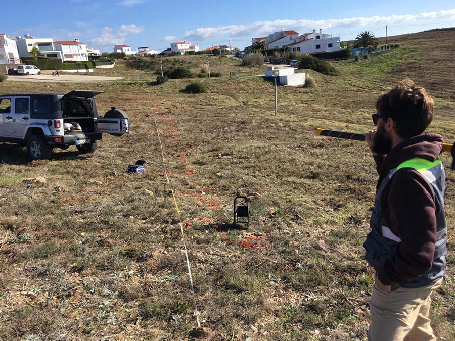
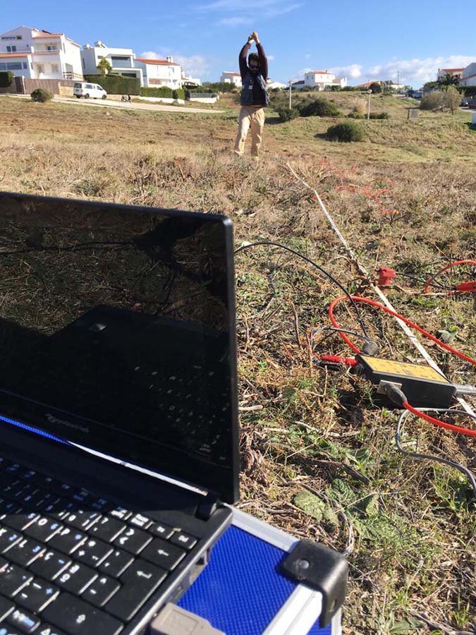
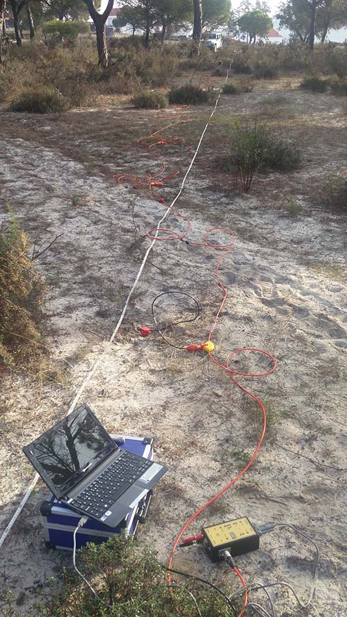
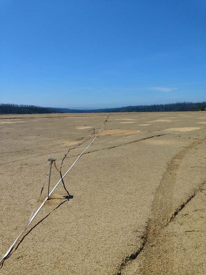
  • Electrical Resistivity Profiles / Geoelectric Tomographies / VES
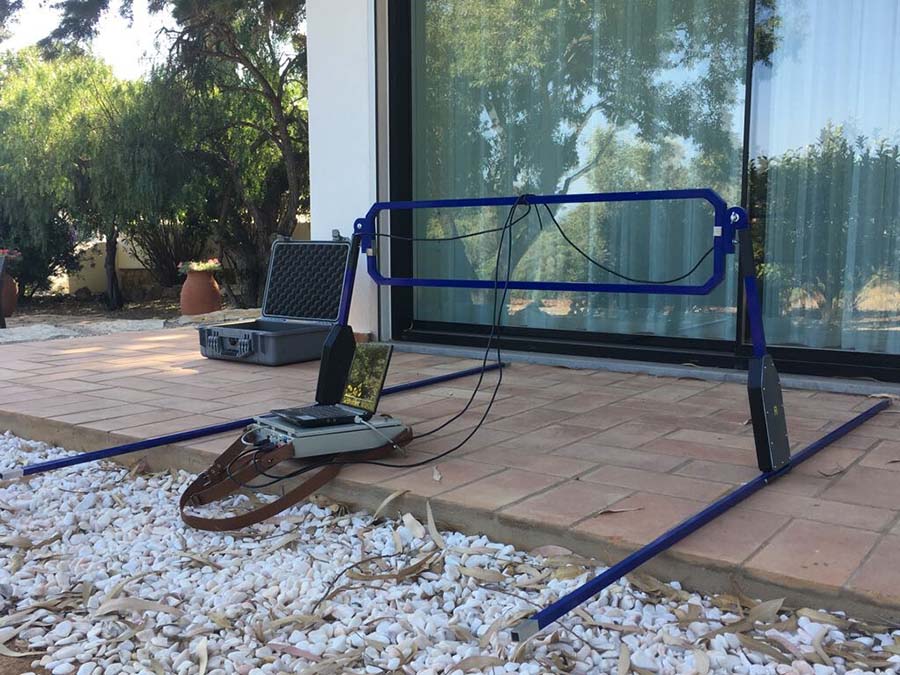
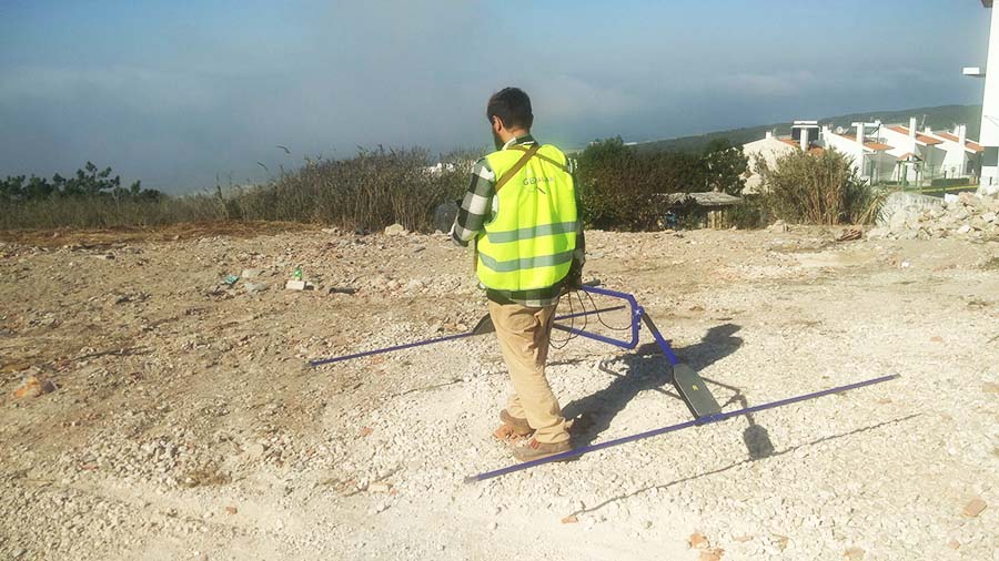
  • GPR Investigations
PROSPEÇÃO GEOTÉCNICA

Geotechnical Investigation


Geological and Geotechnical Surveys

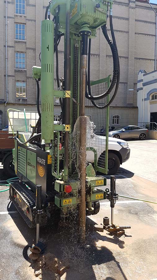
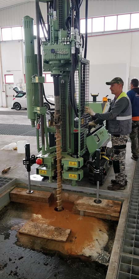
  • Percussion and rotation boreholes with in situ tests
  • Handauger Investigations
  • Trial Pit Excavations
  • Environmental surveys
  • Environmental sampling
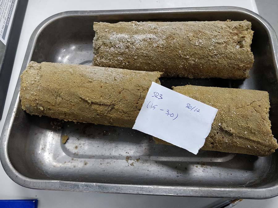
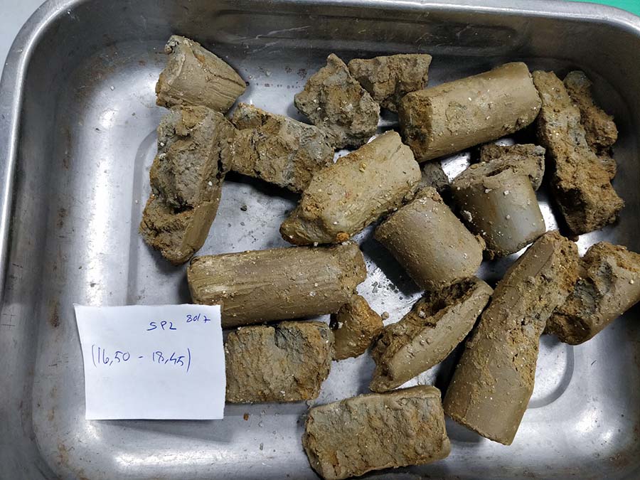
  • Undisturbed and disturbed samples


Dynamic Probing Tests

  • DPL - Dynamic Probing Light
  • DPM - Dynamic Probing Medium
  • DPH - Dynamic Probing Super Heavy
  • DPSH - Dynamic Probing Super Heavy


In Situ Geotechnical Characterization Tests

  • CPT/CPTU Static Penetration Tests
  • SPT Standard Penetration Test
  • Vane Test
  • Lugeon and Lefranc Permeability Tests


Instrumentation

  • Installation of Piezometers
  • Installation of Inclinometers
SISTEMAS DE INFORMAÇÃO GEOGRÁFICA – SIG

Geographic Information Systems - GIS


  • Data collection for GIS
  • Creation of GIS Databases
  • Digital Terrain Modeling
  • Digital Elevation Modeling
  • Contour generation
  • Development of Thematic Maps
  • Raster to vector conversion; operator-assisted tracking, manual digitizing, post-vectorizing data cleaning and normalization, coordinate system conversion, rubber-stretching, etc.
  • 3D modelling and visualization
  • Other


CLIENTS